
Cartography or mapmaking is the study and practice of making maps. Mapmaking involves the application of both scientific and artistic elements, combining graphic talents and specialised knowledge of compilation and design principles with available techniques for product generation.
This cartography program involves the art and science of graphically representing a geographical area, usually on a flat surface such as a map or chart. It may involve the superimposition of political, cultural, or other none geographical divisions onto the representation of a geographical area. Geographical information Systems (GIS) was recently developed as a computer application capable of performing a wide range of functions of Cartography. GIS is a system designed to capture, store, manipulate, analyze, manage, and present all types of geographical data.
Maps function as visualization tools for spatial data. Spatial data is stored in a database and extracted for a variety of purposes.
The traditional analog methods of map making have been replaced by digital systems capable of producing dynamic interactive maps that can be manipulated digitally.
Modern Cartography like many other fields of "information technology" has undergone rapid changes in the last decade. Rather than merely drawing maps the cartographic process is concerned with data manipulation, data capture, image processing, and visual display.
Cartographic representations may appear in printed form or as dynamic images generated on a computer display screen.
Computer-assisted mapping systems have added a new and exciting dimension to cartographic techniques and traditional methodologies have to be augmented with new skills. The fundamental nature of cartography has changed with the evolving technologies, providing cartographers with new methods for visualization and communication of spatial information.
Career prospects:
- Technical assistants in physical planning establishments,
- Instructor in Vocational Training Centres
Progression path:
- Diploma in Cartography
Entry Requirements
The Minimum Entry Requirements are:
- KCSE Mean Grade D (Plain), or;
- Pass in a relevant Artisan course, or;
- An Equivalent qualification approved by KNEC.
The duration for the course is two (2) years which includes a compulsory industrial attachment.
This program is examined by KNEC at the end of the two years training period.
Related articles
-

A Guide to Civil Engineering Degree and Diploma Programs in Kenya
08-Nov-2025 -

Electrical Engineering in Kenya: A 2025 Guide for KCSE Graduates
08-Nov-2025 -

Mechanical Engineering in Kenya: A 2025 Guide for KCSE Graduates
08-Nov-2025 -

Engineering Courses in Kenya: A Guide for 2025 KCSE Graduates
08-Nov-2025 -
Education Pathways in Kenya — From Basic Education to Tertiary | College Guide
06-Nov-2025 -
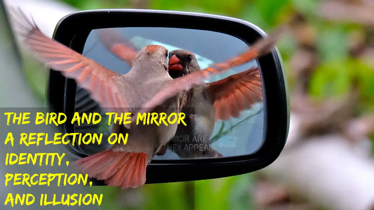
The Bird and the Mirror: A Reflection on Identity, Perception, and Illusion
07-Feb-2025