
Cartography is the study and practice of making maps, it is also referred to as Map Making.
Cartography involves the application of both scientific and artistic elements, combining graphic talents and specialised knowledge of compilation and design principles with available techniques for product generation.
This cartography diploma program involves the art and science of graphically representing a geographical area, usually on a flat surface such as a map or chart. It may involve the superimposition of political, cultural, or other none geographical divisions onto the representation of a geographical area.
Geographical information Systems (GIS) was recently developed as a computer application capable of performing a wide range of functions of Cartography. GIS is a system designed to capture, store, manipulate, analyze, manage, and present all types of geographical data.
Entry Requirements
- O-Level Division II (with credit in English, Mathematics, Geography
- KCSE Mean grade C- (with C- in English, Mathematics, Geography
- KNEC craft certificate in cartography or equivalent
Related articles
-

A Guide to Civil Engineering Degree and Diploma Programs in Kenya
08-Nov-2025 -

Electrical Engineering in Kenya: A 2025 Guide for KCSE Graduates
08-Nov-2025 -

Mechanical Engineering in Kenya: A 2025 Guide for KCSE Graduates
08-Nov-2025 -

Engineering Courses in Kenya: A Guide for 2025 KCSE Graduates
08-Nov-2025 -
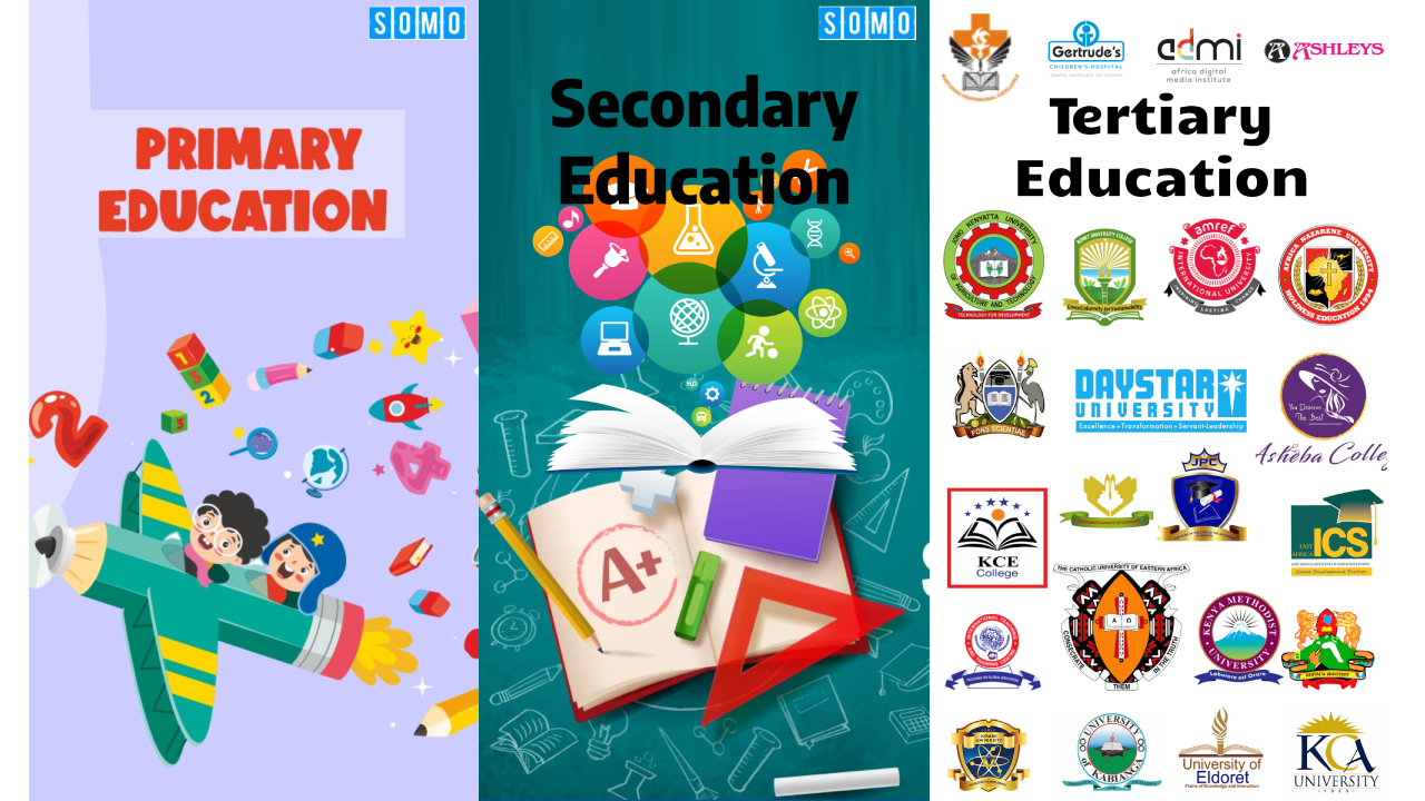
Education Pathways in Kenya — From Basic Education to Tertiary | College Guide
06-Nov-2025 -
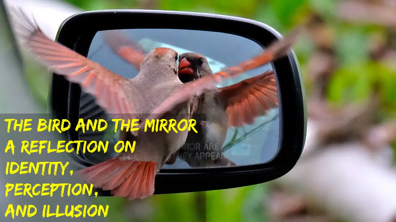
The Bird and the Mirror: A Reflection on Identity, Perception, and Illusion
07-Feb-2025